Precision Agriculture & Innovation Programme (PAIP)
Developing the next generation of agricultural technology talent through a comprehensive, practical, and multi-disciplinary talent-development initiative.

Academic & Professional Catalog
Precision Field Academy delivers practical education across agricultural drone flight, remote sensing, geospatial intelligence, and digital farming systems.
Self-Paced Online Learning
New to AgriTech? Complete our self paced courses on the Precision Field Academy LMS
From ArcGIS foundations and spatial analysis to real-time mobile operations and phyto-mapping. Instant Flutterwave enrollment now active with a limited 1-week 5% discount for Basic GIS graduates (ends this Friday).

Developing the next generation of agricultural technology talent through a comprehensive, practical, and multi-disciplinary talent-development initiative.

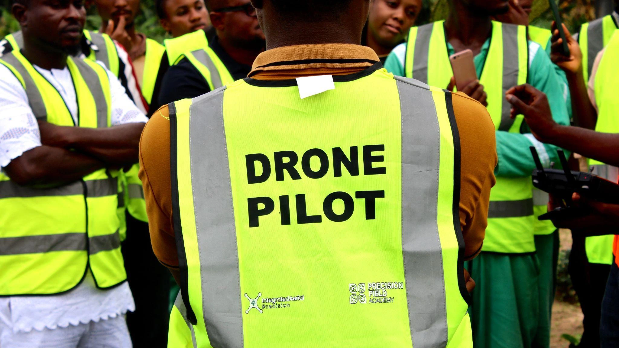
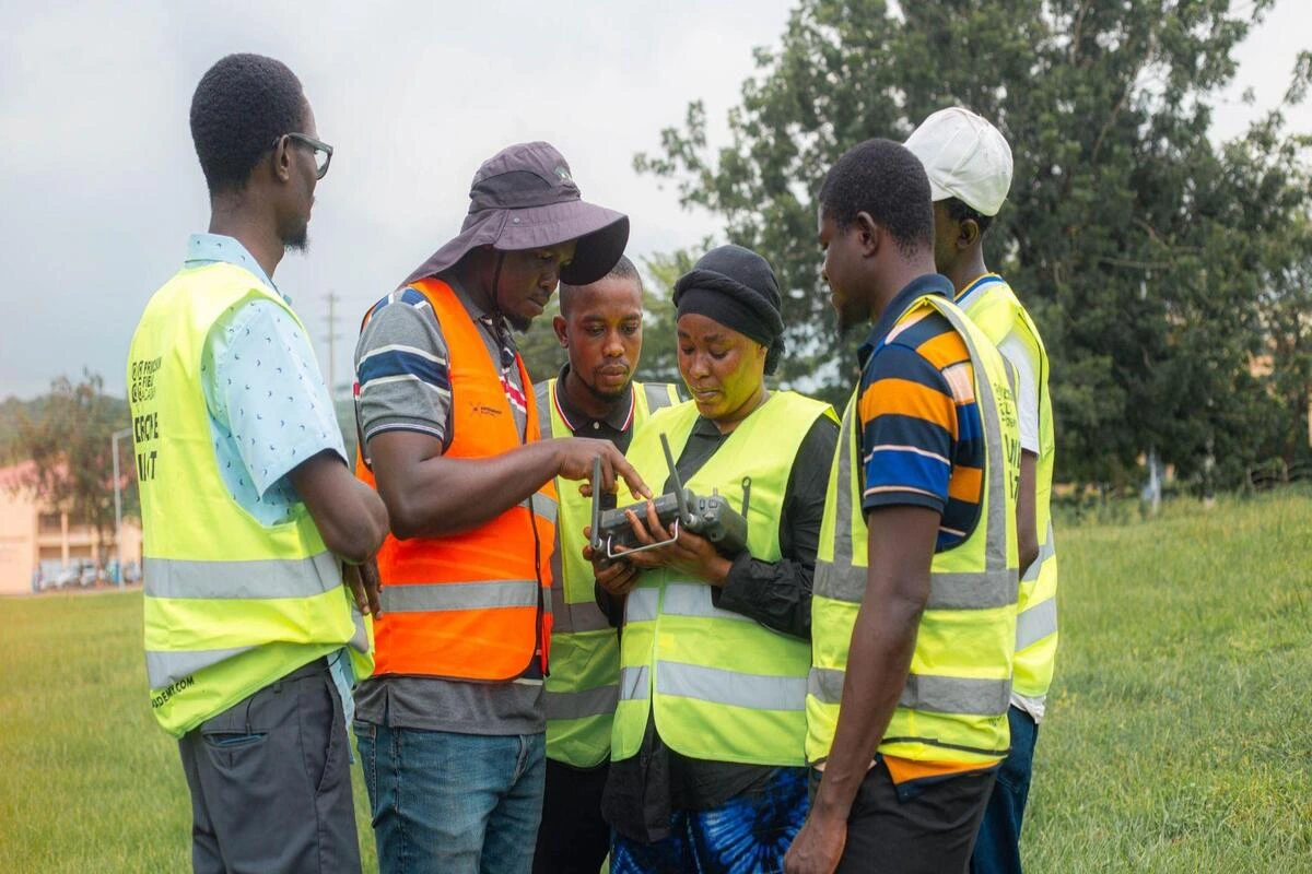
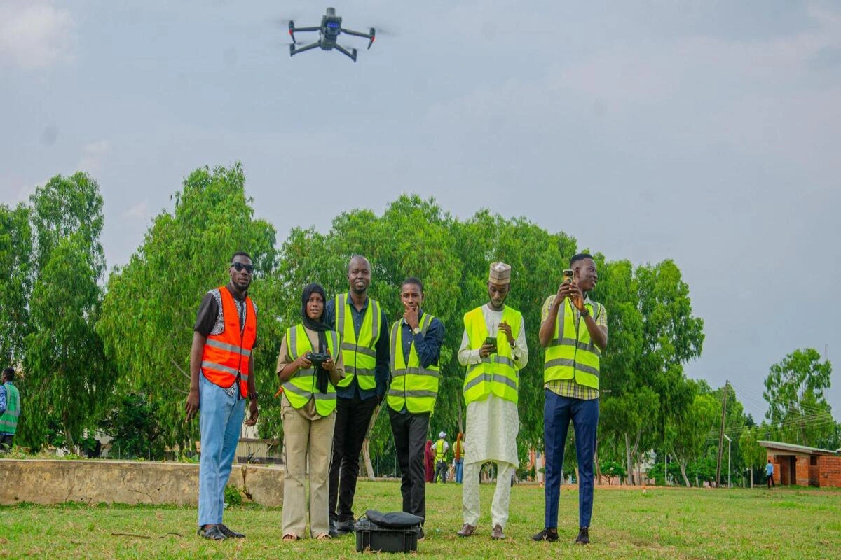
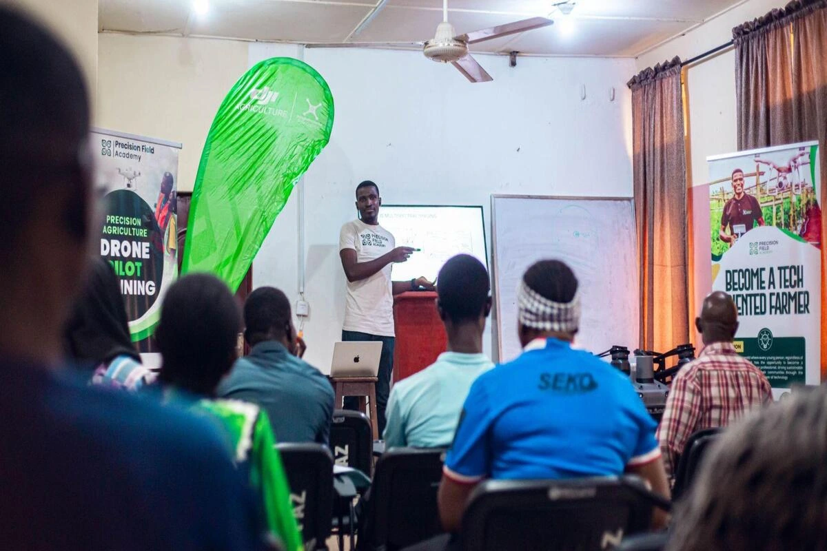
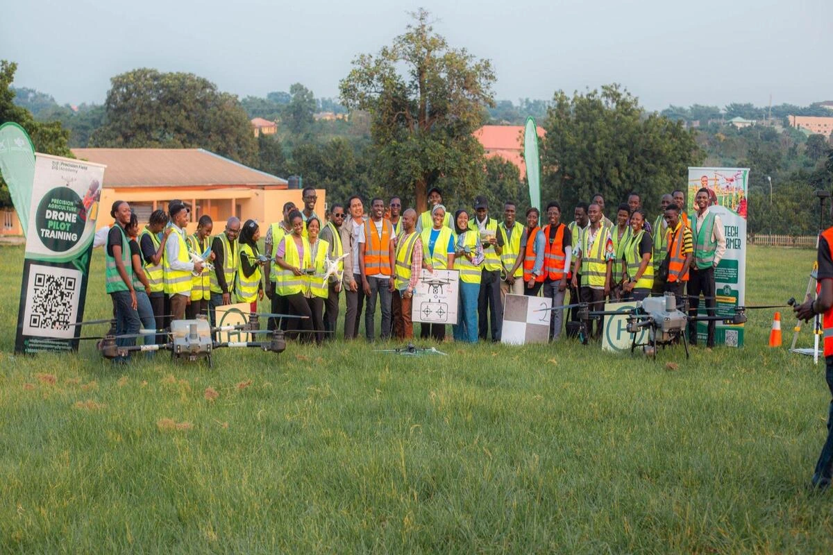
Equips participants with essential skills for Drone Piloting and its use-cases, covering flight principles, hands-on maneuvers, and safety compliance.

Develop the rigorous knowledge required for the UK CAA A2 Certificate of Competency pathway for professional drone operations.

Advanced crop health analytics, multispectral imaging, vegetation index modeling (NDVI/NDRE), irrigation planning, and high-throughput phenotyping.

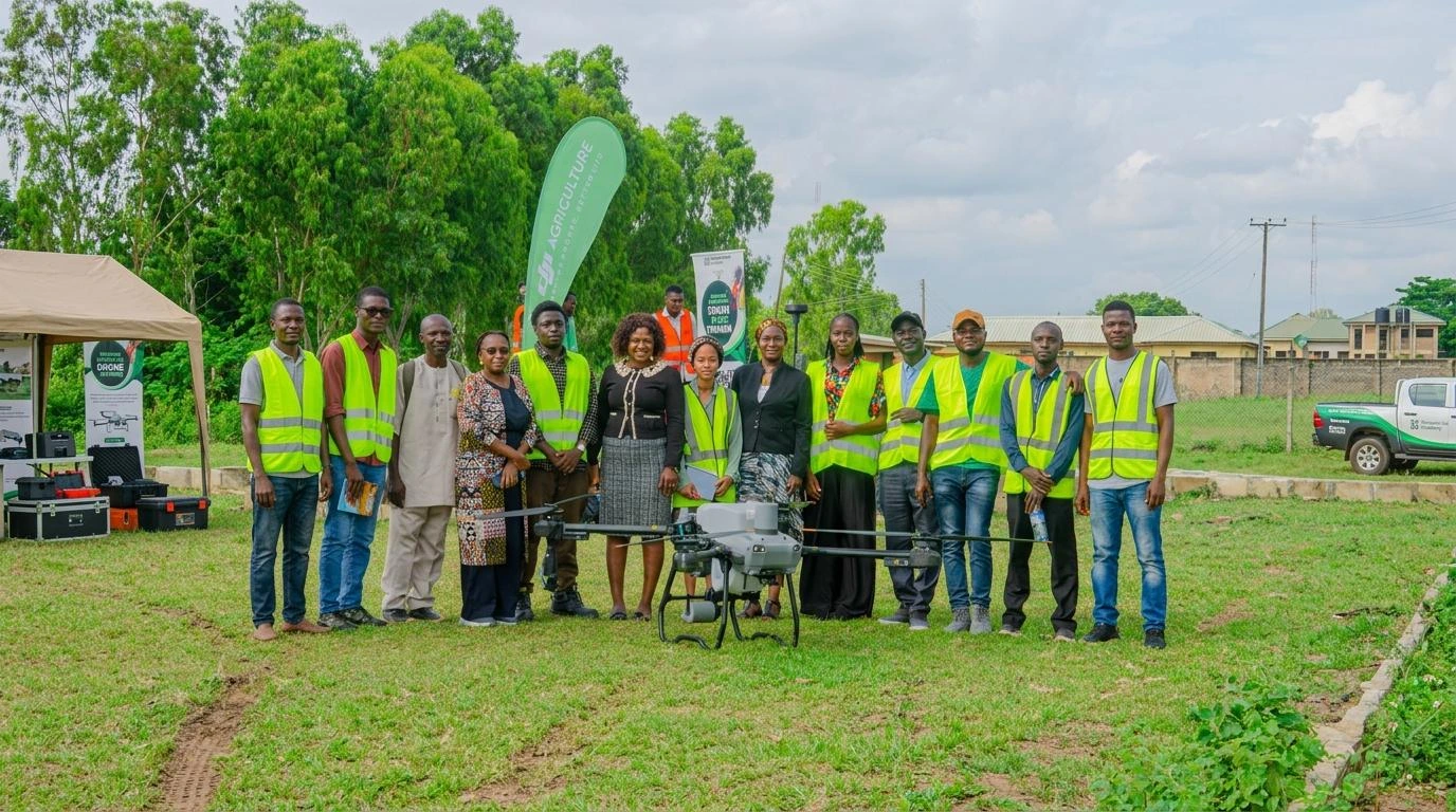
Practical course on spraying, broadcasting, and crop assessment using DJI Academy curriculum.

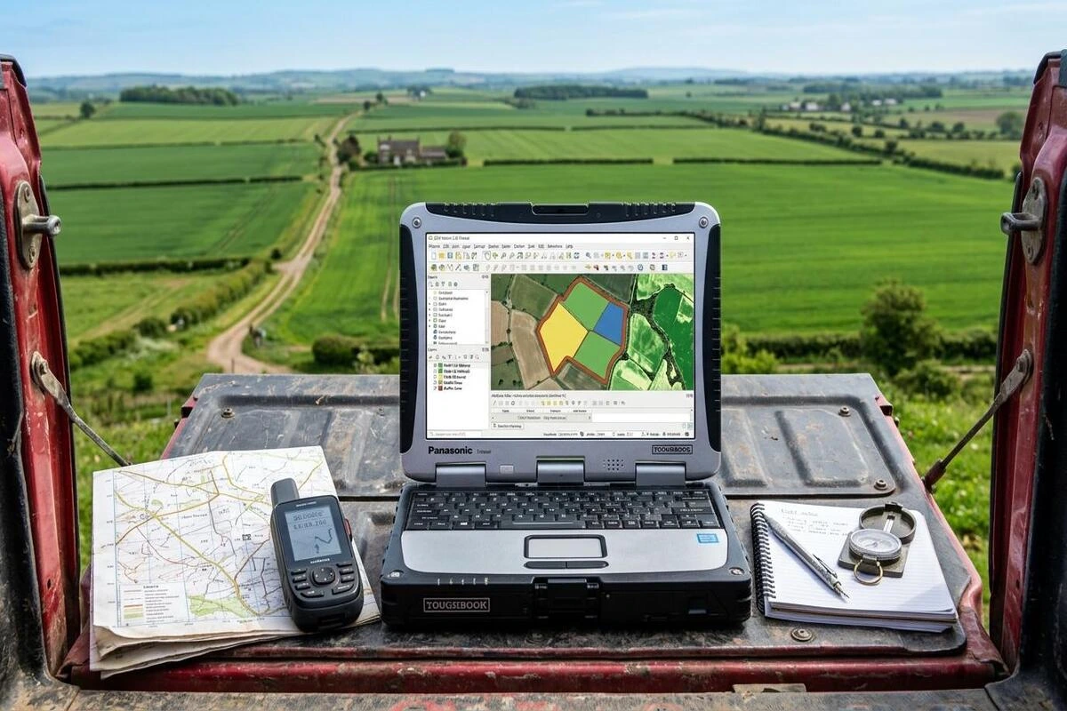
Build foundational GIS capabilities: spatial data collection, coordinate systems, satellite imagery integration, and data-driven farm decision-making.

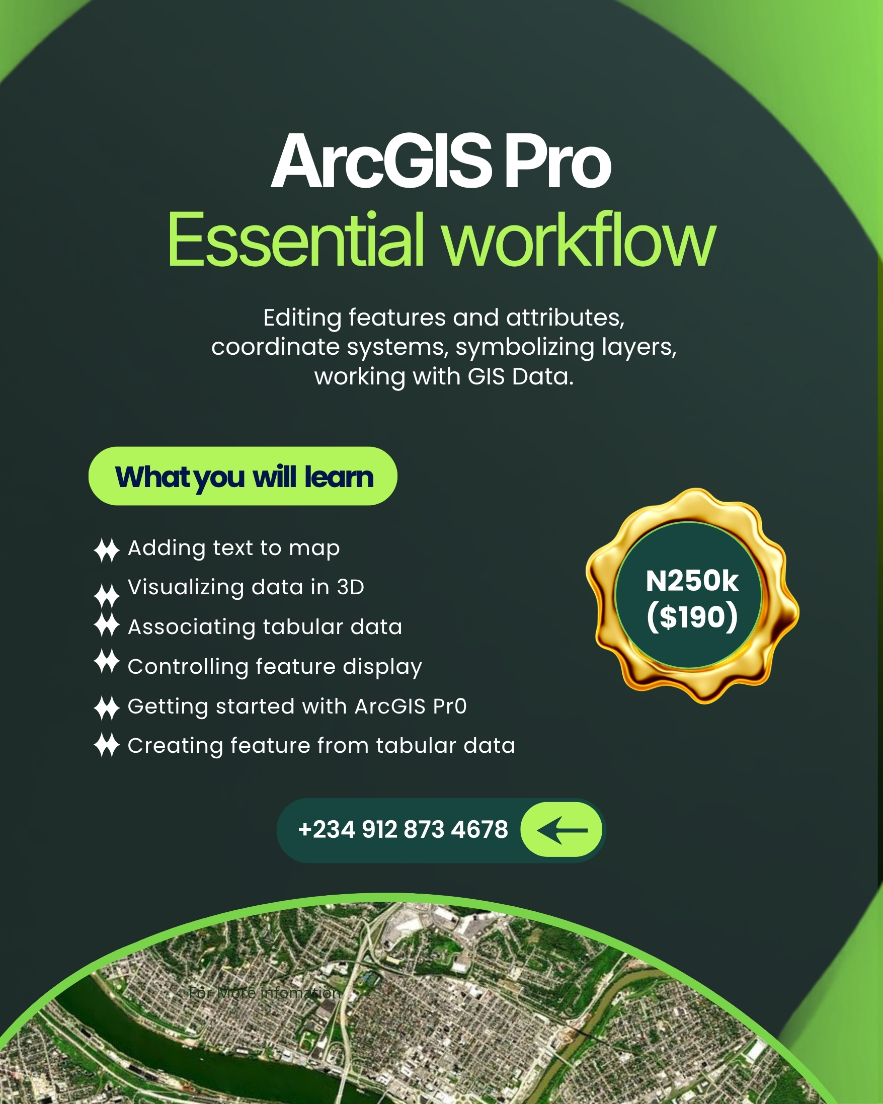
Master essential GIS workflows in ArcGIS Pro: coordinate reference systems, feature editing, layer styling, 3D visualization, and tabular data management.

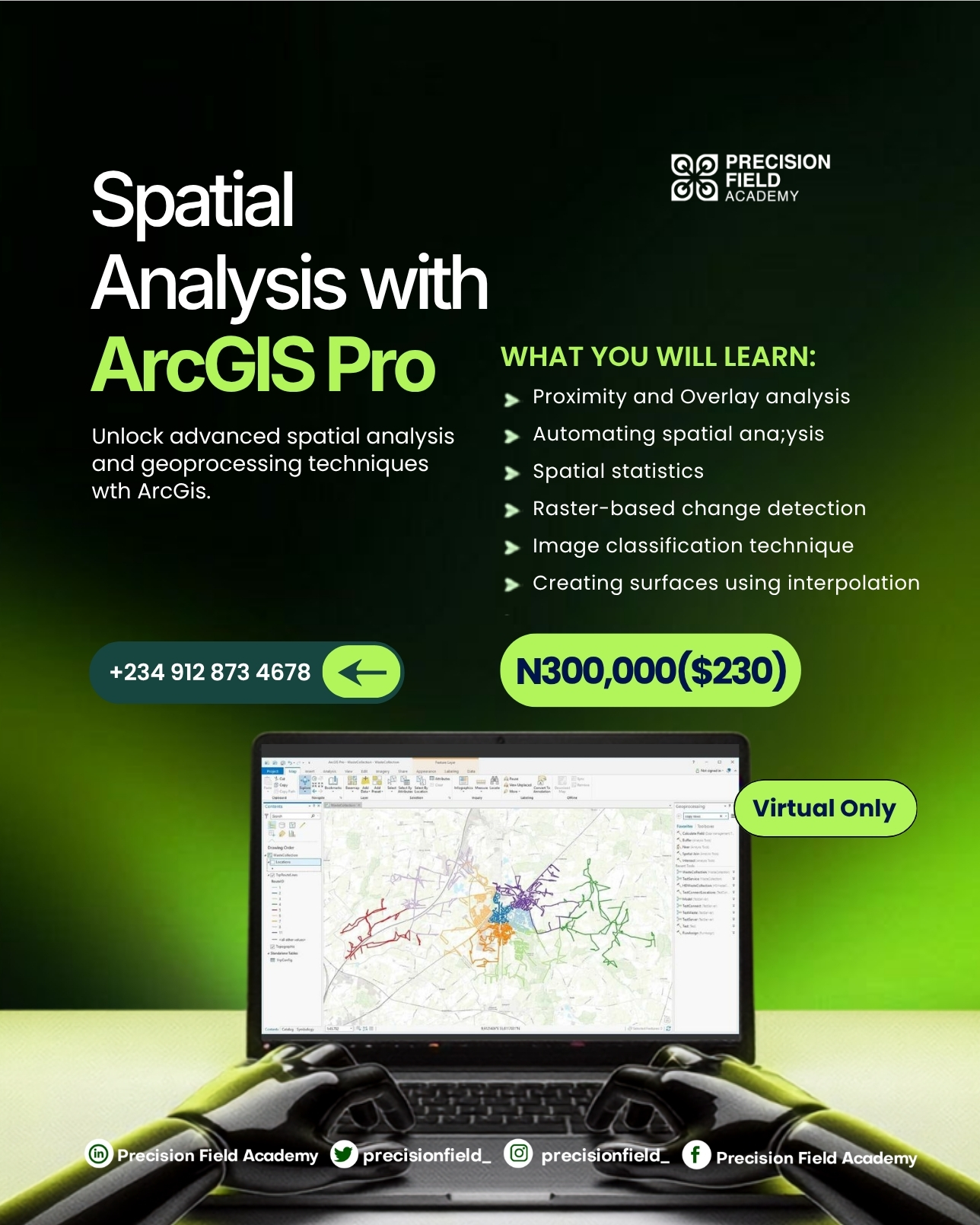
Unlock advanced spatial modeling, geoprocessing automation, spatial statistics, raster change detection, machine learning image classification, and surface interpolation.

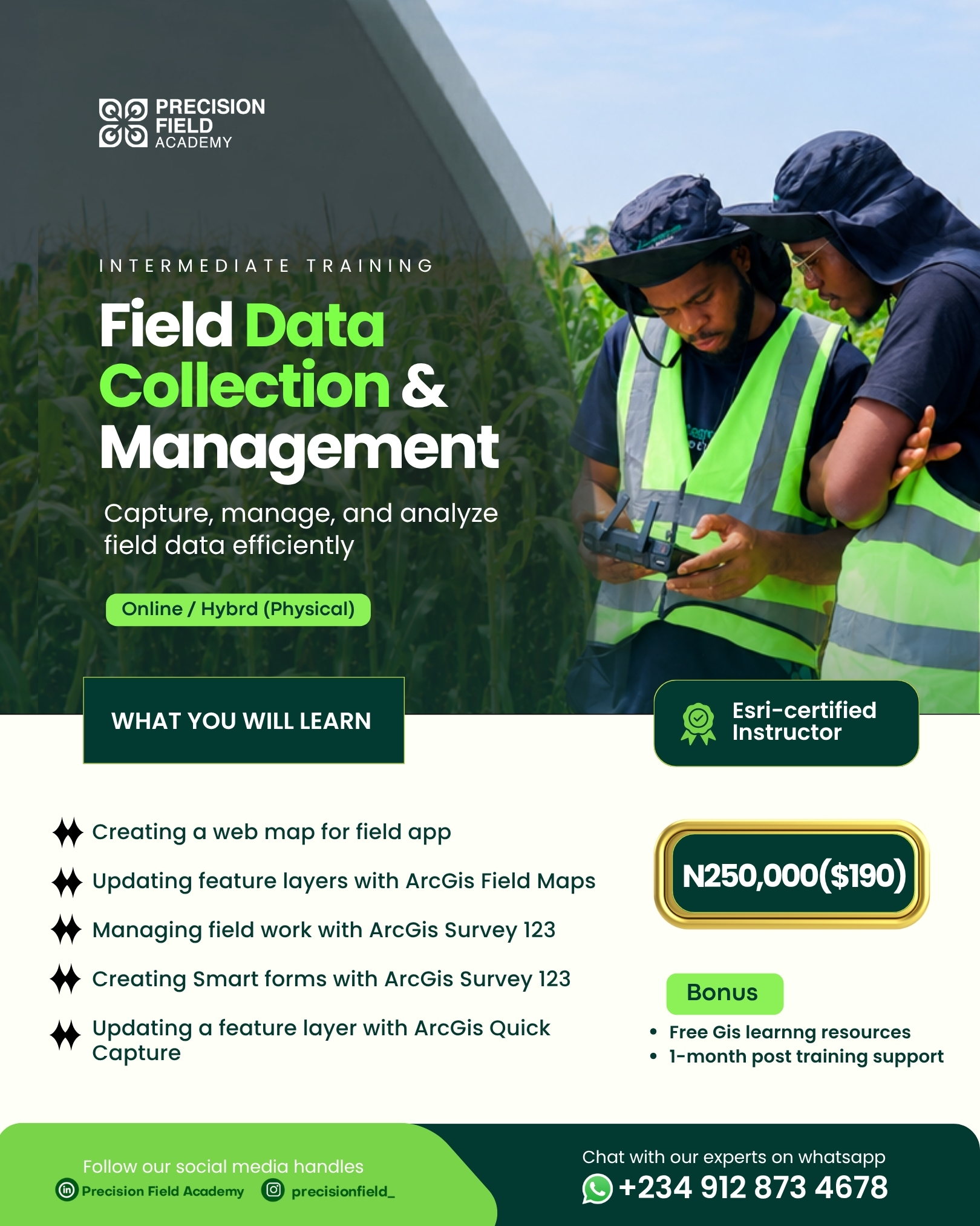
Capture, synchronize, and monitor ground truth data with ArcGIS Field Maps, Survey123 smart forms, ArcGIS QuickCapture, and real-time operational executive dashboards.

Develop practical knowledge of aerial surveying workflows, RTK/PPK base station configurations, and sub-centimeter geospatial data collection.

Customised enterprise training designed to build internal technical capacity for agribusinesses, government institutions, NGOs, and universities.

Strategic advisory sessions for leadership teams exploring agricultural drone technology, capital deployment, and enterprise ROI.
Tell us about your career goals, farm operations, or organizational capacity objectives, and our academic advisers will recommend the optimal learning roadmap.